
Trace a La Mirada Street Address
An address-by-address La Mirada street directory walkthrough starts with one known situs. Identify the parcel, then choose the record that answers the next question. The Assessor Portal ties an address to a ten-digit AIN and parcel facts; a map shows adjacent polygons. A lawful assessor channel may identify an assessee, the person or entity listed for assessment, but public web results suppress owner names. The recorder starts with grantor, grantee, and year, not a street. A criss-cross volume, if held, lists an occupant, not title. The chain is physical place, parcel identity, ownership record, then a separate occupancy clue.
- Enter the address in the Los Angeles County Assessor Portal. Choose Basic Search and record the ten-digit AIN. A parcel fact is not a live household result.
- Open Map Search or the official parcel REST layer. Click target and nearby polygons, capturing AIN/APN and situs components.
- Separate situs from mailing. Situs is the physical parcel; tax mailing can differ. Use a lawful assessor channel when owner identity is needed.
- Search the Registrar-Recorder/County Clerk index by grantor, grantee, and recording year. Follow a grantee's deed to earlier grantors and confirm the legal description; street/APN cannot start the index.
- Use the voter form only for personal verification or a qualified election-file request. It requires last name, full birthdate, house number, and ZIP, so it cannot browse a street.
- Compare permit parties and directory entries with the parcel and deed trail. Ask the library to verify criss-cross or telephone holdings; an occupant listing is not ownership.
No single result supplies a complete street directory. Record the source, date, and purpose for each match. That flags changed mailing addresses, same-name deeds, and directory omissions before a household conclusion.
La Mirada Street Directory Record Map
A useful La Mirada street directory keeps each record set in its lane. The Assessor Portal identifies parcels by address or AIN, while the parcel layer adds map context. Deeds use a name-and-year index; Building & Safety, code files, and voter records have separate limits.
| Record source | Address key | What it can show | Access boundary |
|---|---|---|---|
| Assessor Portal | AIN or situs | AIN, parcel facts, legal/map references | Free web search; owner names suppressed |
| Parcel REST layer | AIN/APN and situs parts | Geometry and query context | 1,000-feature response cap |
| RR/CC deeds | Grantor, grantee, year | Ownership trail and legal description | Norwalk index; no public online index |
| Building & Safety | Project address/APN | Owner, applicant, contractor, scope, dates | Six-year summaries online; historic files at City Hall |
| Code enforcement | Subject property | Complaints, notices, dispositions | In person, mail, or phone; private/investigative parts may be withheld |
| Voter records | House number and ZIP | Self-status or qualified-file data | No street browsing; qualified-purpose requests only |
The parcel is the hinge, not a substitute for the rows. An AIN carries research from address to map and request, but an owner, permit applicant, voter, and listed occupant may be different people. Keep the evidence type beside each name.
Note: An address can be a strong parcel key while remaining a weak signal of who is physically present.
Search La Mirada Street Directory by AIN
The Assessor Portal presents Basic Search, Legal Search, and Map Search. Its prompt is Search by AIN or Address. An AIN is ten digits; an APN may use another display format. Start with a normalized situs address when needed, save the AIN, and remember that suppressed owner names make the result a land-and-assessment anchor, not an owner roster.
| Control or field | Type | Use | Important limit |
|---|---|---|---|
| Basic Search | Search mode | Begin with address or AIN | Confirm the situs result |
| Legal Search | Search mode | Use legal-description information | Check the resulting parcel identity |
| Map Search | Map mode | Browse the parcel pattern | Map context is not a household list |
| Search by AIN or Address | Text/autocomplete | Enter ten-digit AIN or normalized situs | Owner names suppressed on public web |
| Map parcel click | Map action | Open parcel context and outlines | Capture AIN/APN and situs parts |
The official parcel service supports attribute, spatial, and distance queries, but each response is capped at 1,000 features. Narrow a broad request to a defined set, preserve the AIN, and shift to the custodian holding the next record.
La Mirada Street Records in GIS Layers
County GIS-NET documents address, AIN, and intersection search, identify, query, buffer, aerial, measurement, print, and export tools. It primarily describes unincorporated territory. Because La Mirada is incorporated, prefer the Assessor map or parcel service for identity and use Planning layers cautiously.
The GIS-NET public documentation is the visual reference for those tools. The captured view shows the search and map actions available for a street research trail.
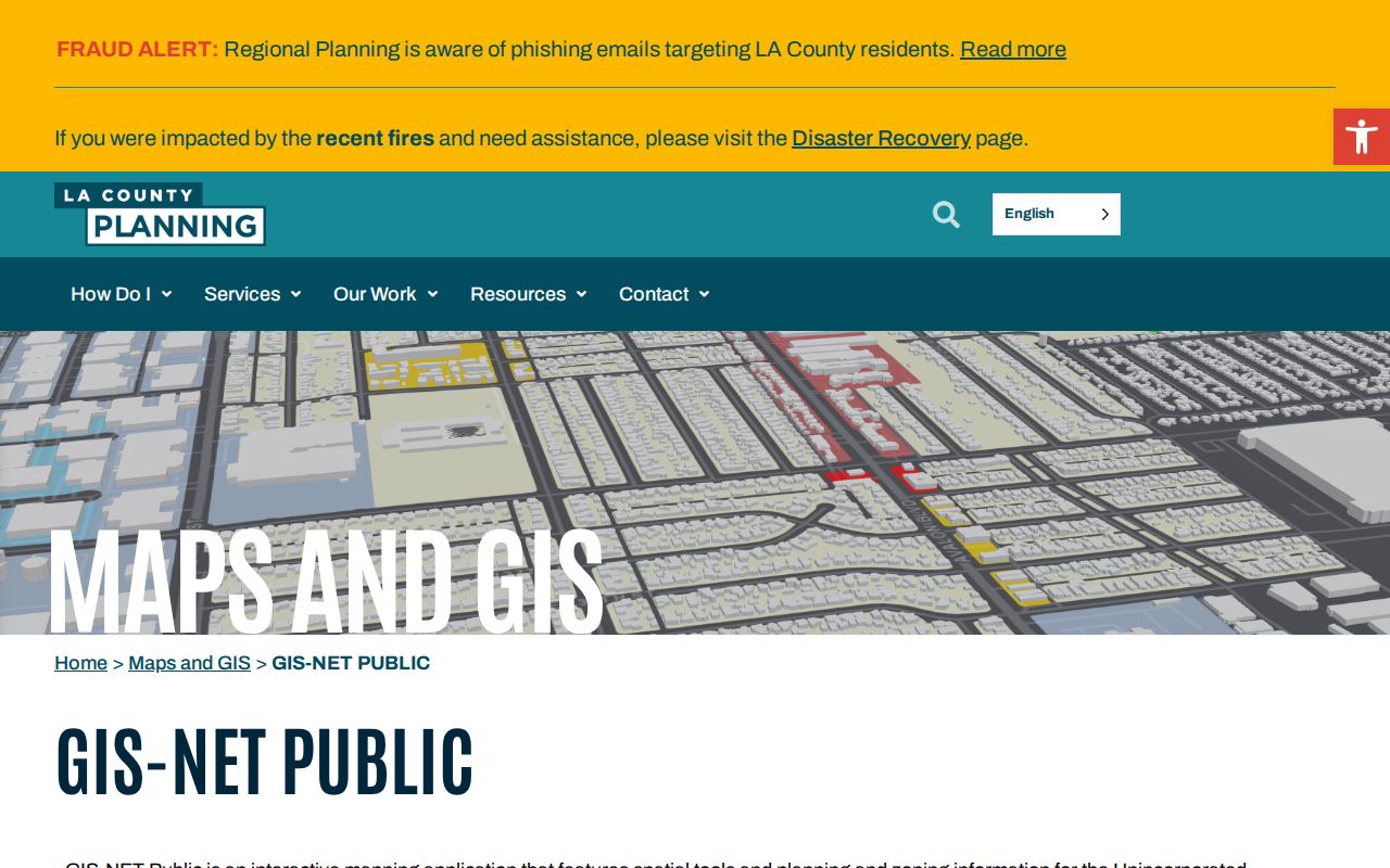
The image is a tool reference, not a roster of La Mirada residents. Compare parcel outlines, then verify the AIN and situs in the Assessor service.
Situs and Mailing Address in La Mirada
Address evidence changes meaning with the field used. Situs is the physical parcel used by assessor and permit systems. A mailing address is the tax-correspondence destination and may be off-site. Matching fields can support an owner-occupancy clue, but do not prove who is present. Occupants and household members do not become a public street roster merely because they share a situs.
Address terms.
- Parcel
- A mapped unit of land tied to an AIN or APN and its parcel facts.
- Situs address
- The physical location of the parcel, used to connect a street to land records.
- Plat
- A recorded subdivision map that can show lots, blocks, and related parcel structure.
- Criss-cross directory
- A street-order directory that may list an occupant or telephone number, not ownership.
These terms keep a street directory search from blending land, mail, and household evidence. A legal description or plat can hold a parcel steady when a street label changes. Historical collection questions belong with the library and the La Mirada City Directories; current ownership questions belong with the assessor and recorder.
Note: A mailing address can guide document delivery without proving that the named recipient lives at the situs parcel.
Why La Mirada's Deed Index Uses Names
Los Angeles County Registrar-Recorder/County Clerk real-estate records reach back to 1850. The official RR/CC real-estate FAQ says deeds are indexed by grantor, grantee, and recording year, not street address or APN. There is no public online index. The practical counter is at 12400 Imperial Highway in Norwalk. Start with AIN and legal description, obtain a name through a lawful assessor channel, and search by name and year.
A written search should give document title, names, and recording years. The RR/CC copy route uses an online vendor and requires complete documents. Processing was historically 20 working days; certified copies were historically $6 for the first page plus $3 per additional page. Verify current fees. The full document supplies the legal description and transfer details.
The copy-request page is the next stop when a La Mirada street directory trail reaches a document number. Its captured screen shows how a parcel search becomes a formal order.
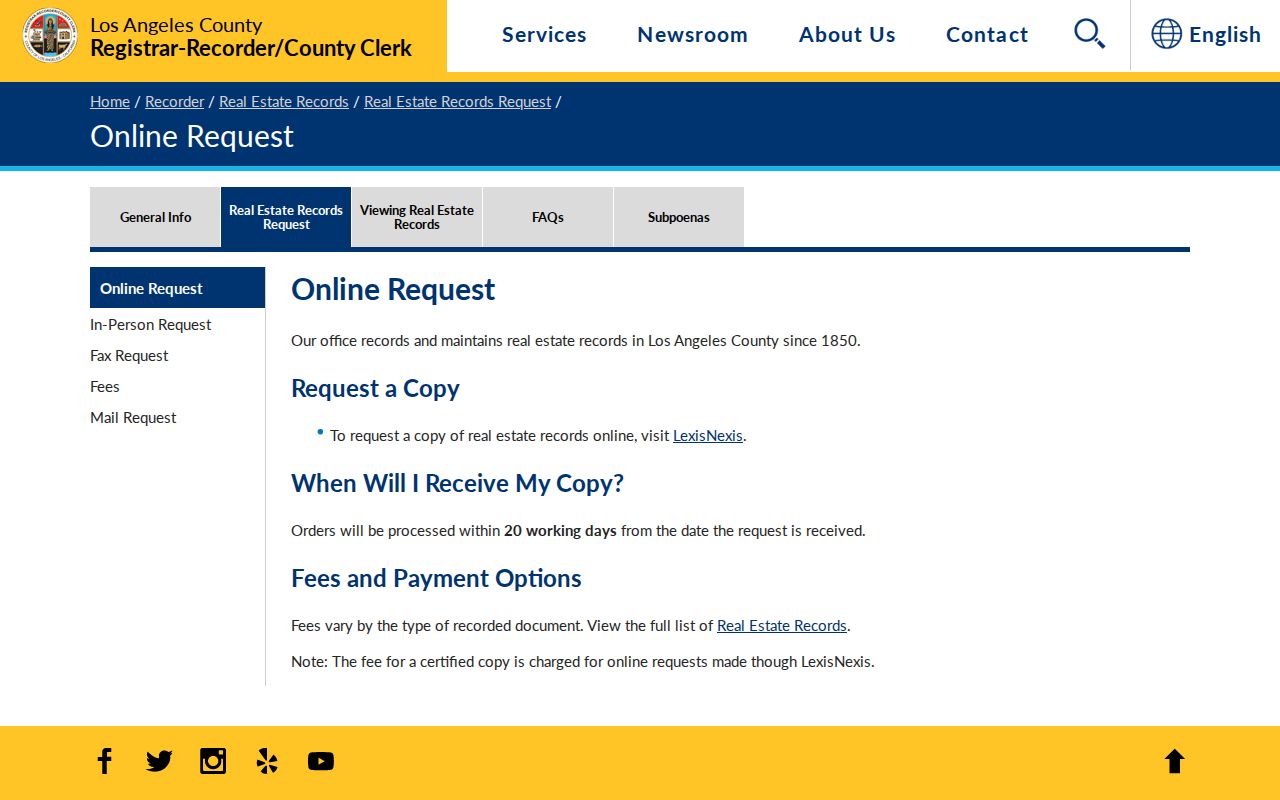
The request route is for a complete document, so an index hit must be turned into a full record order rather than a single-page pick.
La Mirada Permits by Project Address
La Mirada Building & Safety adds another address record. Current six-year summaries are available through the LA County Building Permit Viewer; historic files can be viewed at City Hall. The form asks for project address/APN, owner, applicant, contractor and license, architect or engineer, scope, and dates. These fields tie a party to a project, not a resident roster.
Use permits after fixing the parcel. Scope and dates can place work in time, while an applicant or contractor may have a separate business or mailing address. Permits may be posted online. Read the Building & Safety page and permit form for the current routes and fields.
La Mirada Code Files Need Context
Code enforcement can add a case trail to a street address, but it begins with a complaint rather than a finding. La Mirada accepts complaints in person, by mail, or by phone. Identify the subject property's street number and name, describe the complaint, and give the requested contact details so staff can locate the file.
A complaint is not proof of a violation. Read notices, responses, and dispositions in sequence; personal or investigative portions may be withheld. The La Mirada code-enforcement instructions give the submission route. A code file can explain a property event, not label a person or household.
Note: A complaint describes an allegation or city response, not a final finding about a person or property.
La Mirada Criss-Cross Directories
The La Mirada Library is the local check for older address tools. Its branch page can help verify catalog records, databases, and telephone or criss-cross holdings, but exact local year runs were not found. Ask whether a volume covers La Mirada or Mirada and whether its street-order section is present. Do not promise an unverified annual run.
Criss-cross directories provide listed occupants, not ownership. Omissions, spelling changes, and moves can break the trail. Compare an entry with deeds, permit dates, or a released census record. The La Mirada Library branch can confirm the shelf or database path before a street directory search relies on it.
La Mirada Voter Data by Street
LA County Voter Registration Verification is a self-check, not a street directory. It requires last name, full birthdate, house number, and ZIP. A voter can check a submitted record, but a stranger cannot browse a street. Use the LA County voter self-check for its stated purpose and keep it separate from assessor or deed evidence.
Election-file requests are limited to qualified purposes, which the requester must show. The county page lists $54 for a city file, $146 countywide, and $39 for an additional file. Verify current fees and rules. A qualified file is not a household list. The voter information request page is the access point.
When La Mirada Street Names Shift
La Mirada incorporated in 1960, and older material may use Mirada. A catalog, deed reference, or local history note may use that name. Test both when an address trail goes quiet, then compare the parcel's AIN, legal description, or plat instead of assuming another place.
No verified citywide street-renumbering year was found. If a historic number does not match a current one, use a legal description, tract reference, parcel map, or directory entry with adjacent addresses. A renumbering theory needs a dated city or county record.
Note: No verified La Mirada street-renumbering year was located, so older address matches require explicit corroboration.
La Mirada Street Directory Limits
A La Mirada street directory cannot become a live household roster by combining public records. Situs identifies a parcel; mailing information identifies a tax-correspondence route. Deeds show recorded parties, permits show project parties, and a criss-cross volume may show listed occupants. Other household members may be absent. DMV, utility, delivery, and protected Safe at Home addresses are not a public street roster, and protected voters can keep addresses out of public results.
Lawful personal use. La Mirada address records may support family history, property curiosity, or civic research. Do not use an address trail to stalk, harass, intimidate, or harm anyone.
Read every match with its custodian and date. An owner is not automatically an occupant, a listed voter is not a live feed, a permit party is not necessarily a resident, and a complaint is not proof. That discipline keeps street research useful while respecting the boundary between a public parcel record and a private household.